
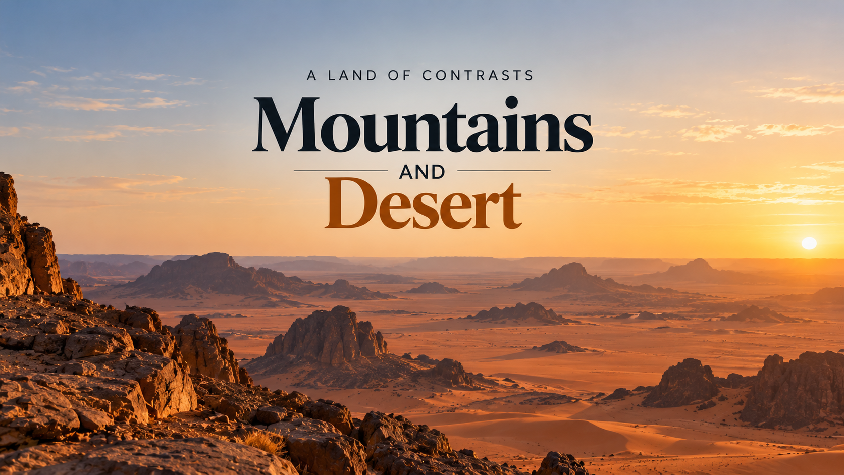
Did you know that Algeria is the largest country in Africa, yet more than 80% of its territory is covered by the Sahara Desert?
Stretching from the Mediterranean Sea deep into the Sahara, Algeria covers approximately 2.38 million square kilometres.
That makes it not only Africa’s largest country by area but also the tenth-largest in the world.
However, its enormous size hides a surprising geographical contrast.
A country dominated by the Sahara
More than four-fifths of Algeria lies within the Sahara, the world’s largest hot desert.
The country’s southern regions feature vast sand dunes, rocky plateaus and dramatic mountain formations.
Among its most remarkable landscapes are the Hoggar Mountains and Tassili n’Ajjer, an area famous for its prehistoric rock art.
Some of these ancient paintings and carvings depict animals such as elephants, giraffes and cattle.
They offer evidence of a time thousands of years ago when parts of today’s Sahara had a much wetter climate.
Most Algerians live in the north
Despite Algeria’s enormous territory, most of its population lives in the northern part of the country.
Cities such as Algiers, Oran and Annaba are located near the Mediterranean coast, where the climate is generally milder.
The northern region also contains agricultural land, mountains and major economic centres.
Meanwhile, the vast Saharan interior is much more sparsely populated.
This creates a striking contrast between Algeria’s relatively concentrated northern population and its expansive southern desert.
Africa’s geographical giant
Algeria became Africa’s largest country by area following South Sudan’s independence from Sudan in 2011.
Its territory is roughly four times the size of France.
Yet its geography includes much more than endless sand.
From Mediterranean beaches to mountain ranges, ancient rock art and Saharan landscapes, Algeria is one of Africa’s most geographically diverse countries.
The next time you look at a map of Africa, remember: its largest country is also overwhelmingly desert.